Total Eclipse Trip - April 2024
| << The Total Solar Eclipse 🌑🌞 | Trip Home | Leg 5 - Greensboro, NC to Orlando, FL >> |
|---|
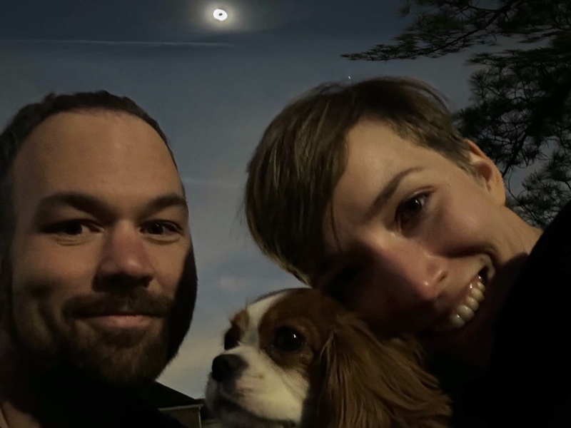
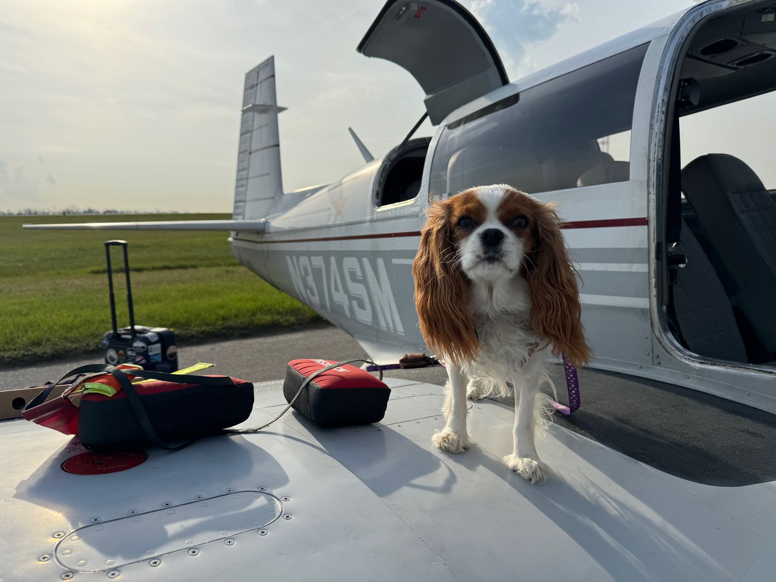
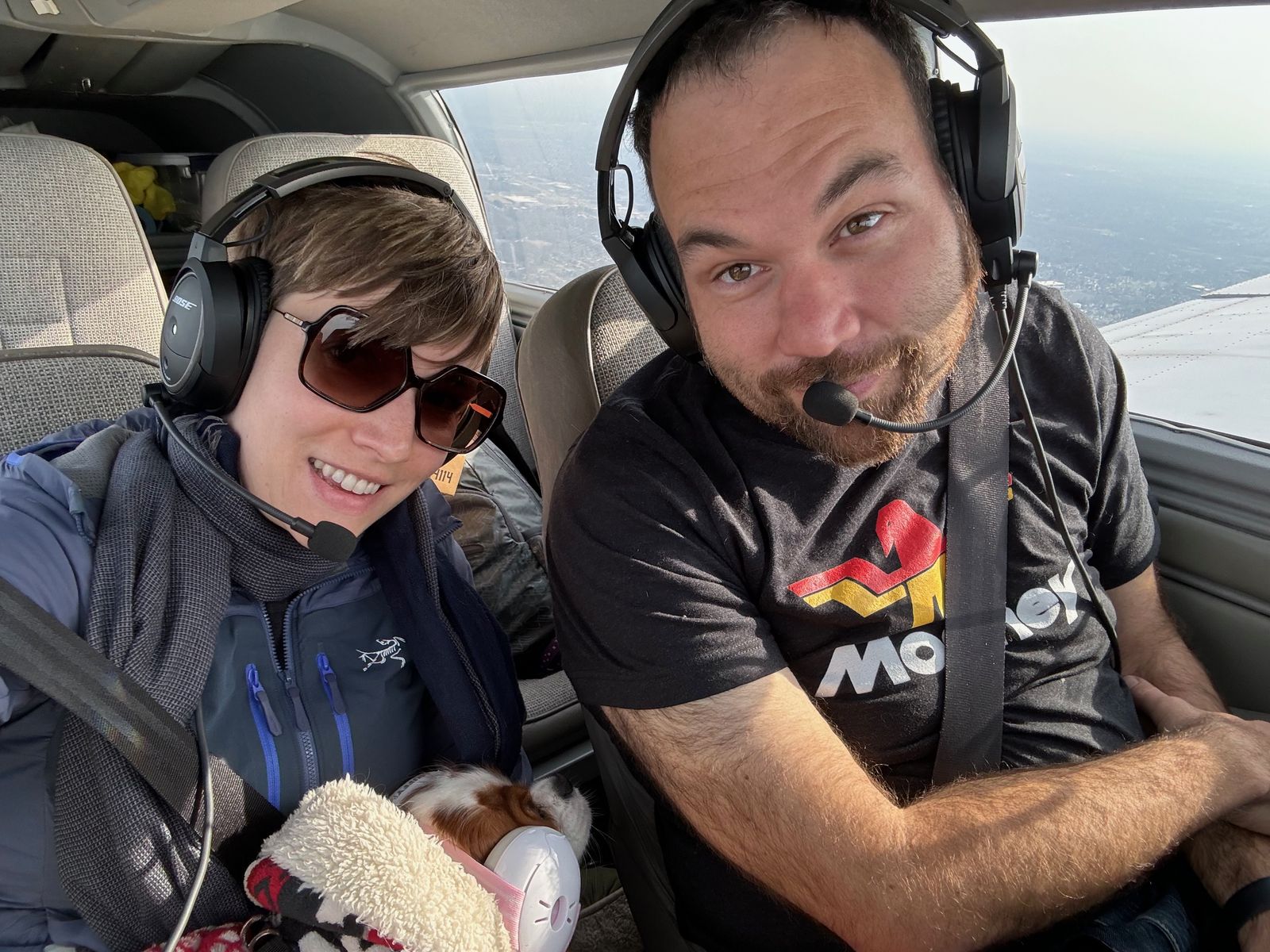
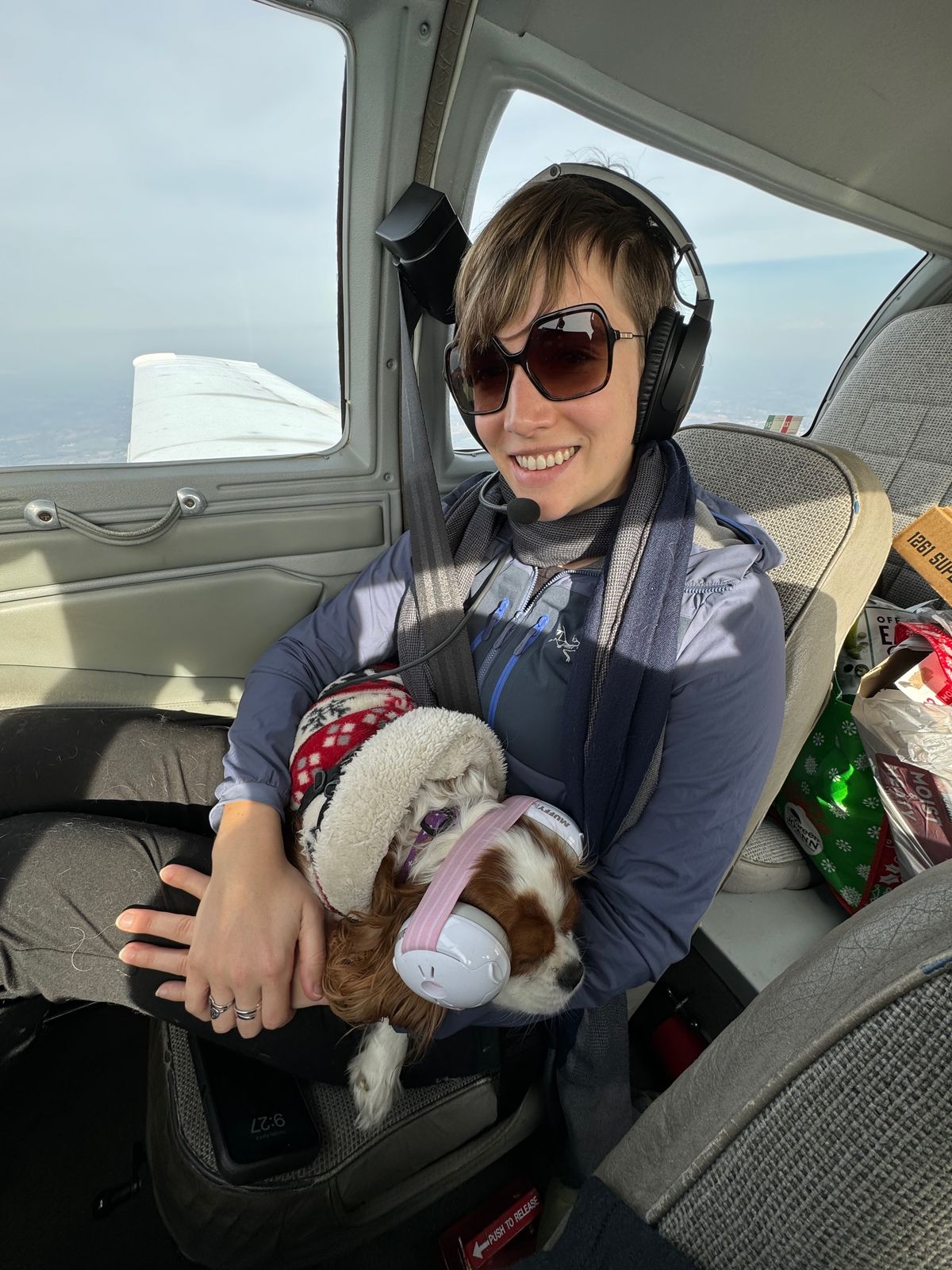
We're Ryan and Katherine, and we flew to watch the Total Eclipse 🌑🌞 with our dog Magic 🐶.
| << The Total Solar Eclipse 🌑🌞 | Trip Home | Leg 5 - Greensboro, NC to Orlando, FL >> |
|---|
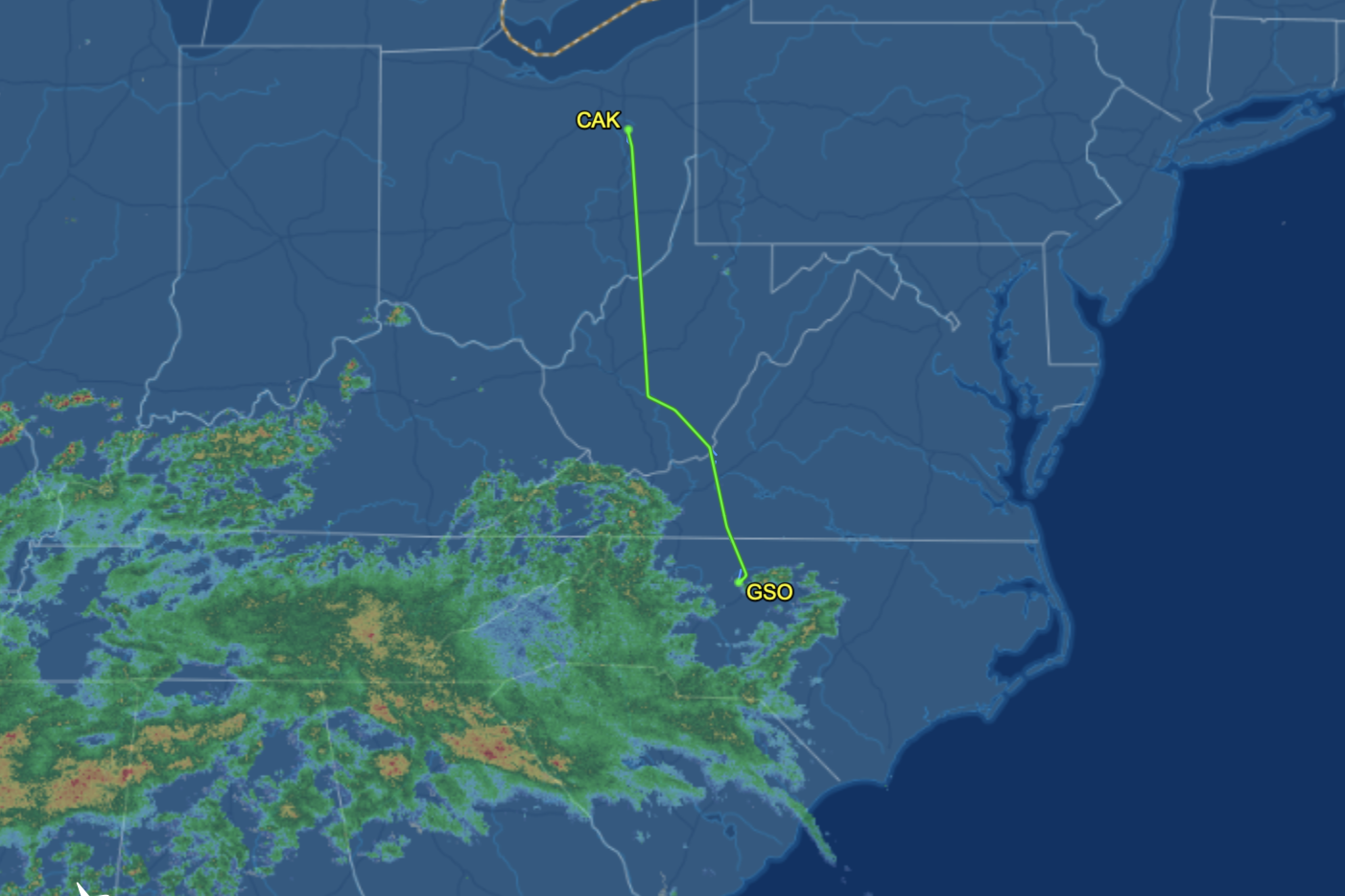
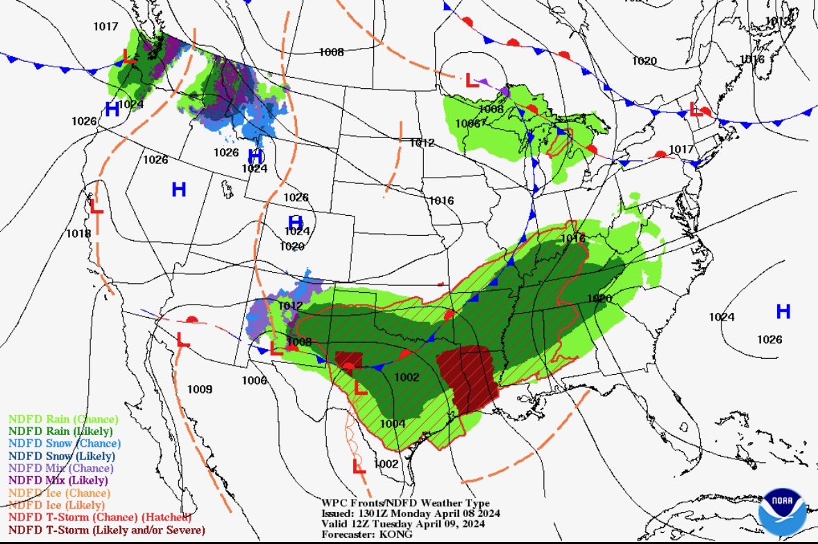
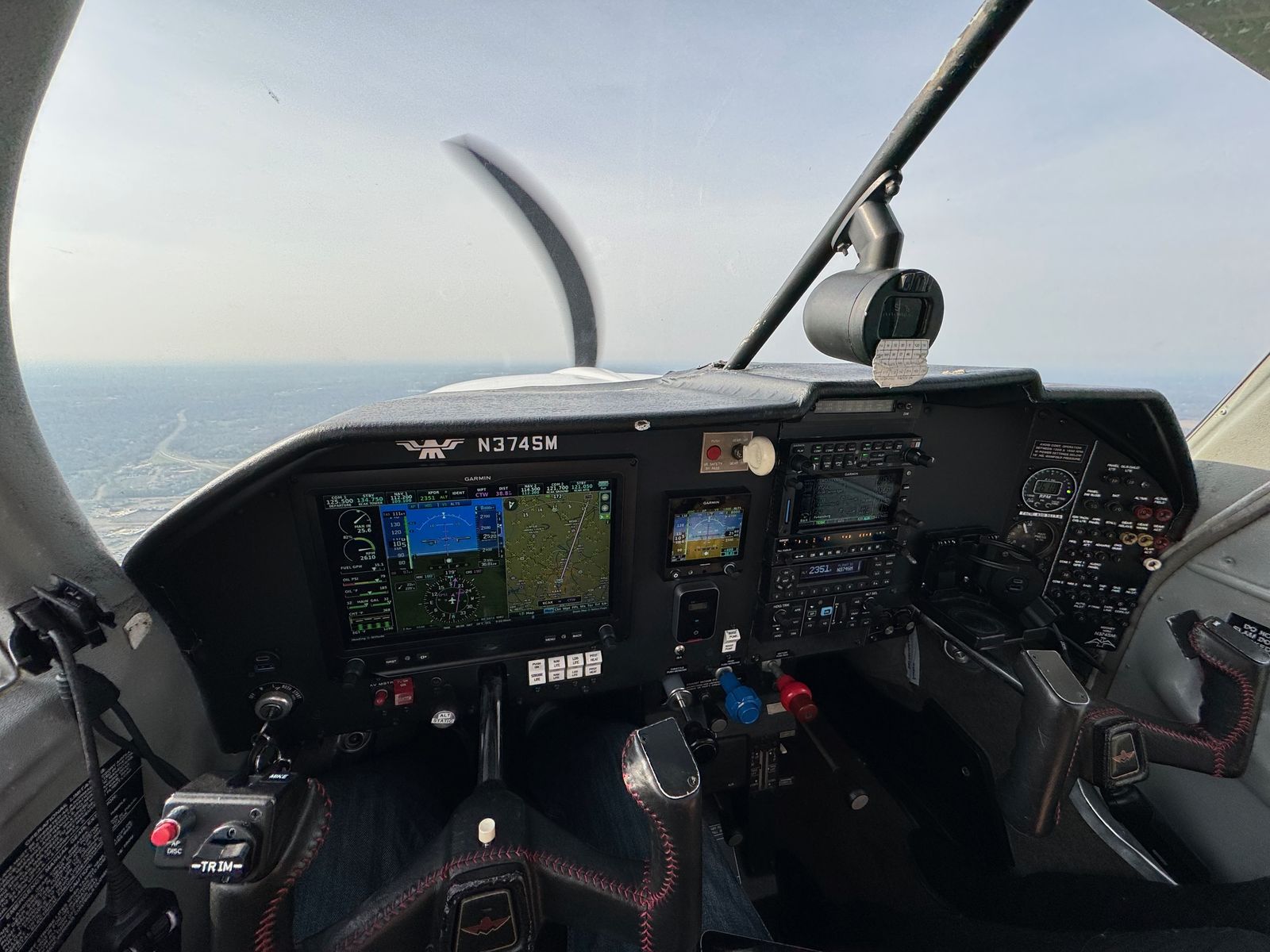
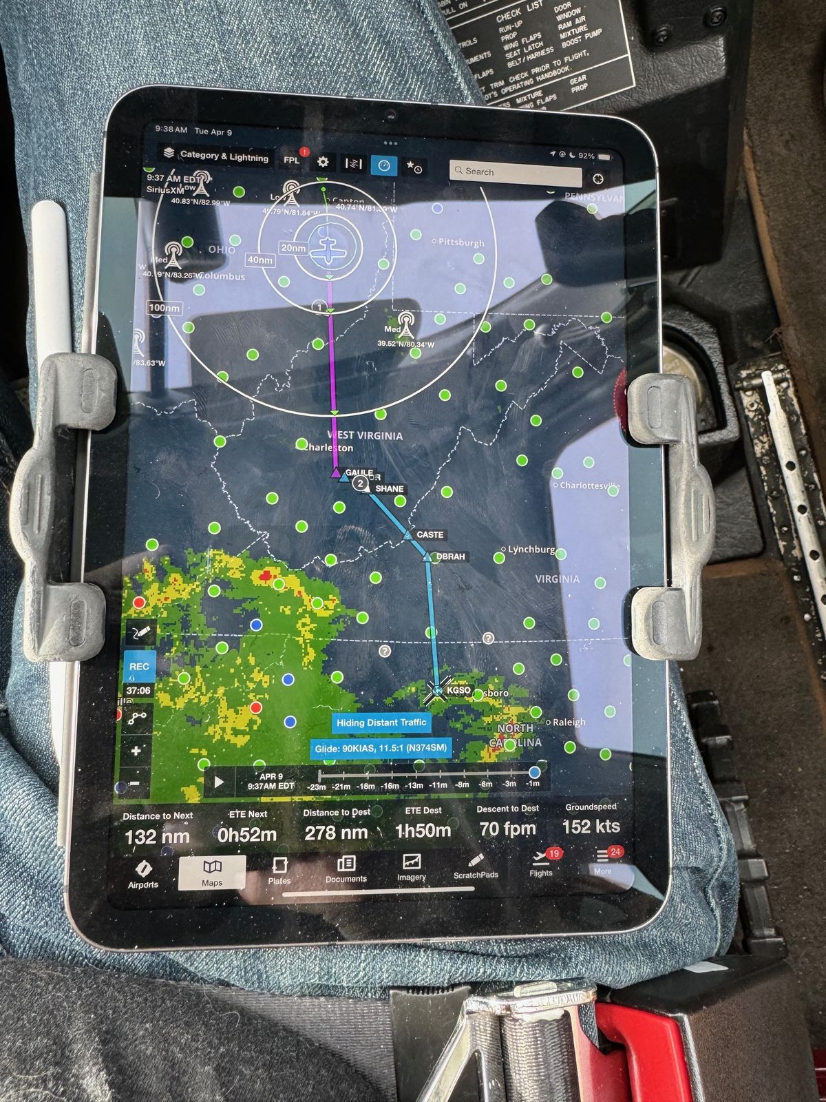
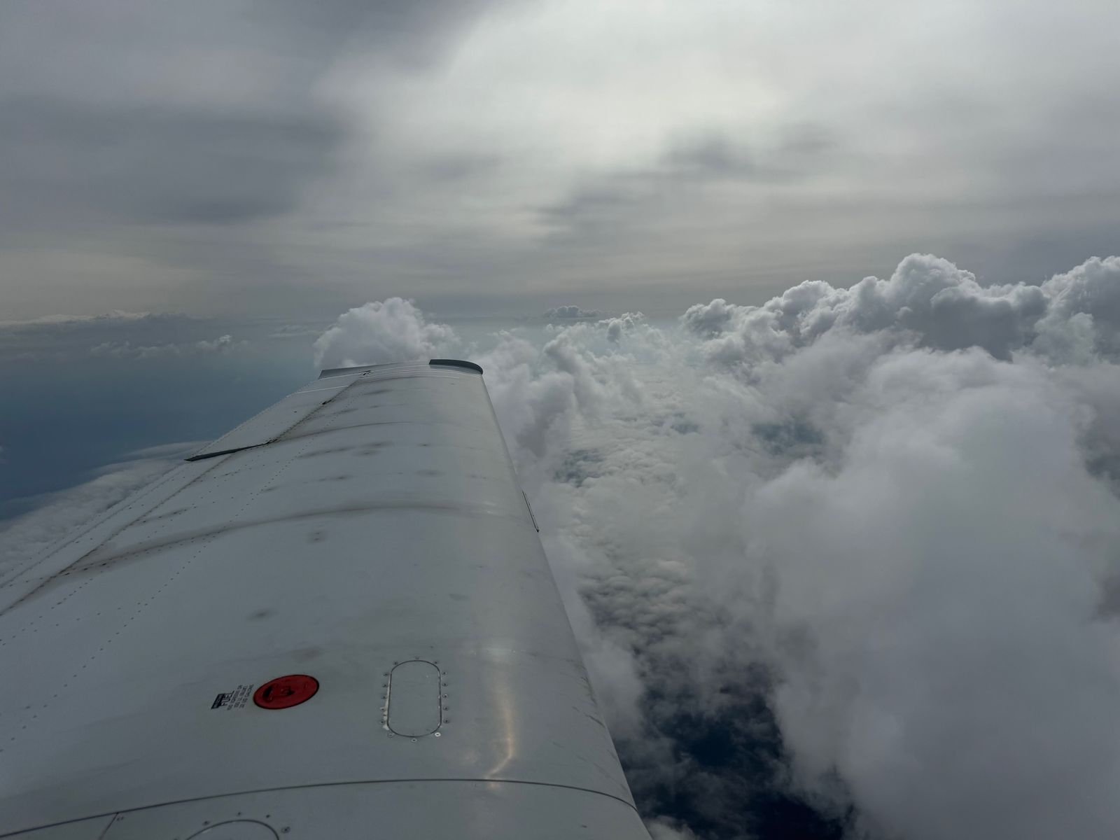
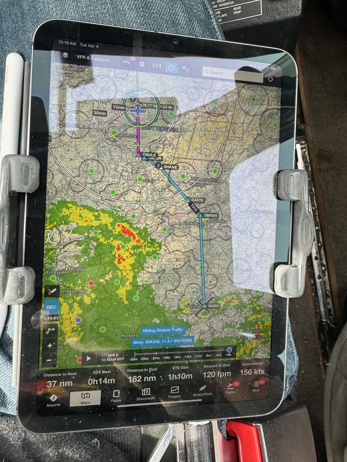
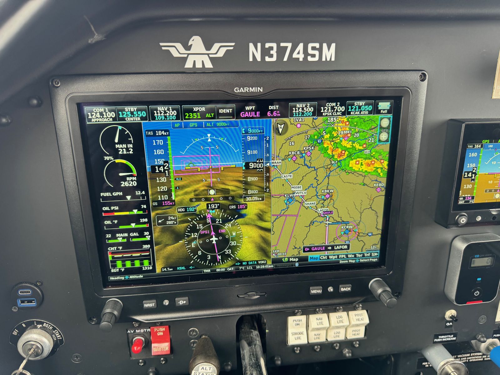
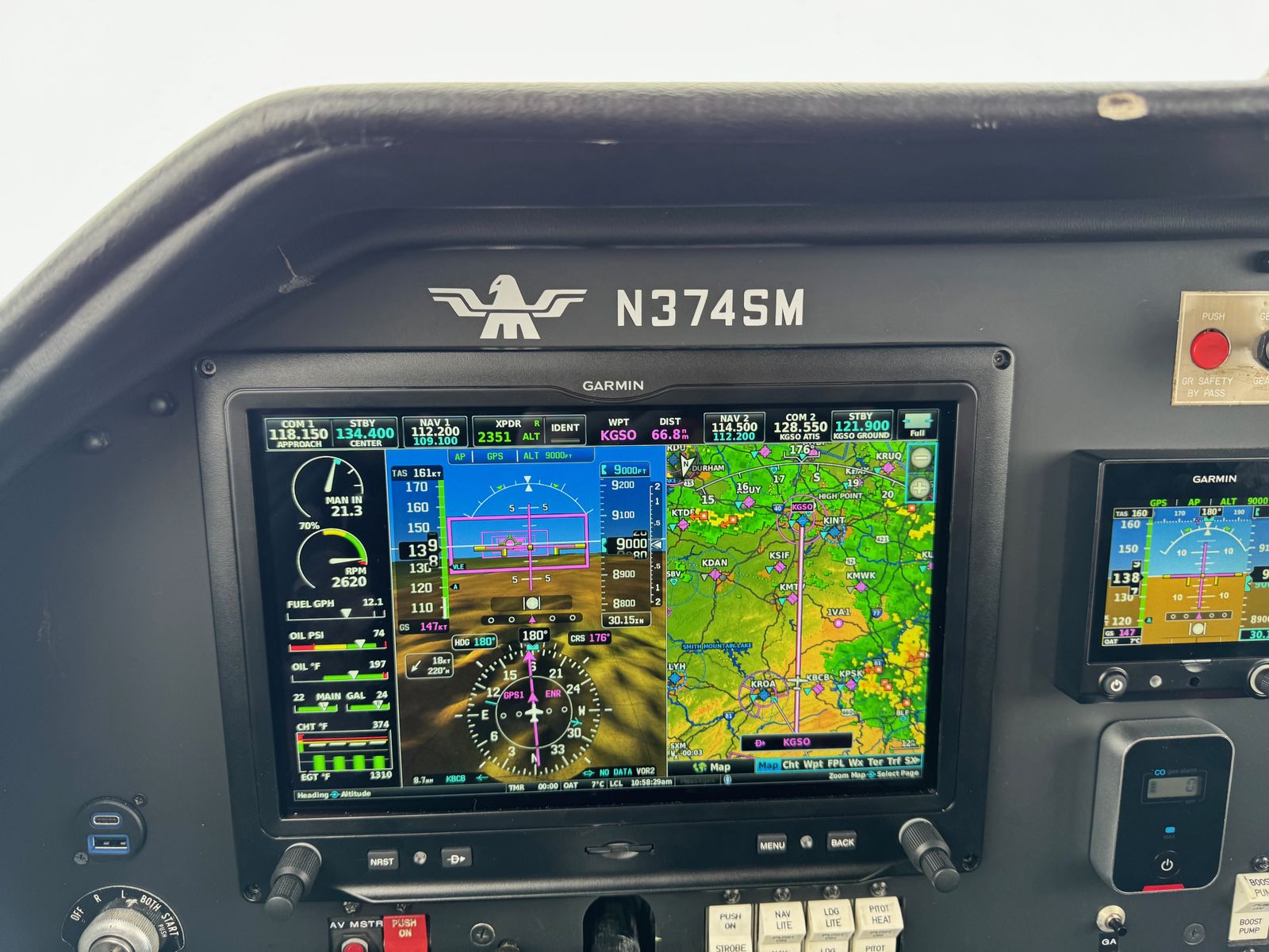
During the previous night's review of the route home, I saw there was some major frontal weather approaching from the southwest, and I wanted to be across the Appalachians as early in the day as possible. It would be a little cloudy, however fortunately the warming weather meant that freezing levels would be well above the 9000 feet I would need to fly to cross the mountains. To stay well clear of the weather, I decided to cross the mountains near Roanoke, Virginia, which kept our course east of the advancing weather. I selected Greensboro, North Carolina as our destination because it was a nice large airport with a crew car, approaches, and relatively easy terrain nearby.
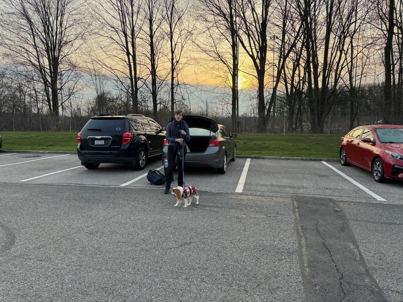
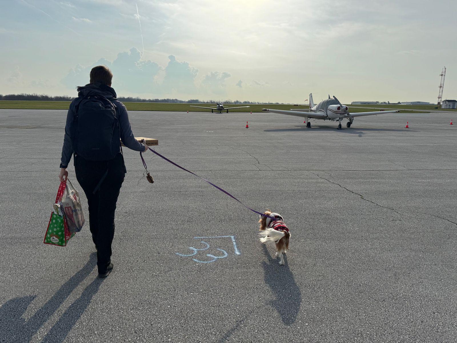
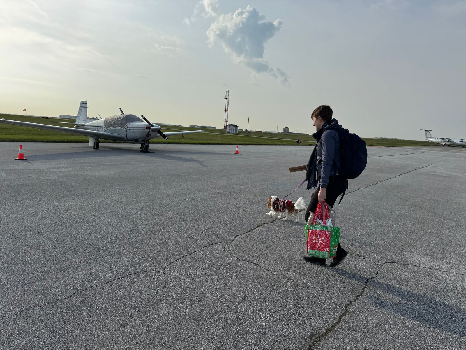
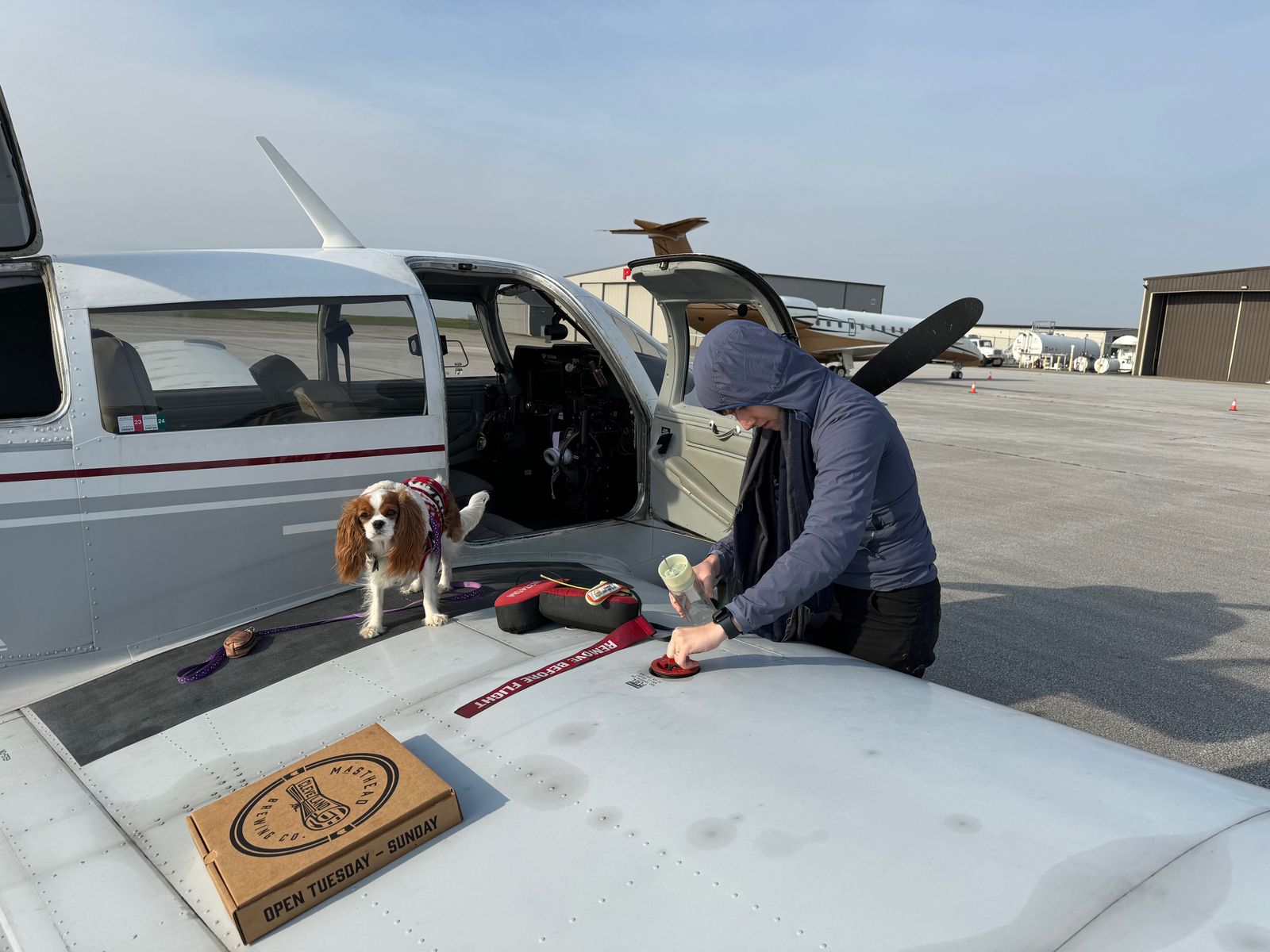
We packed the night before and headed to the airport fairly early in the morning.
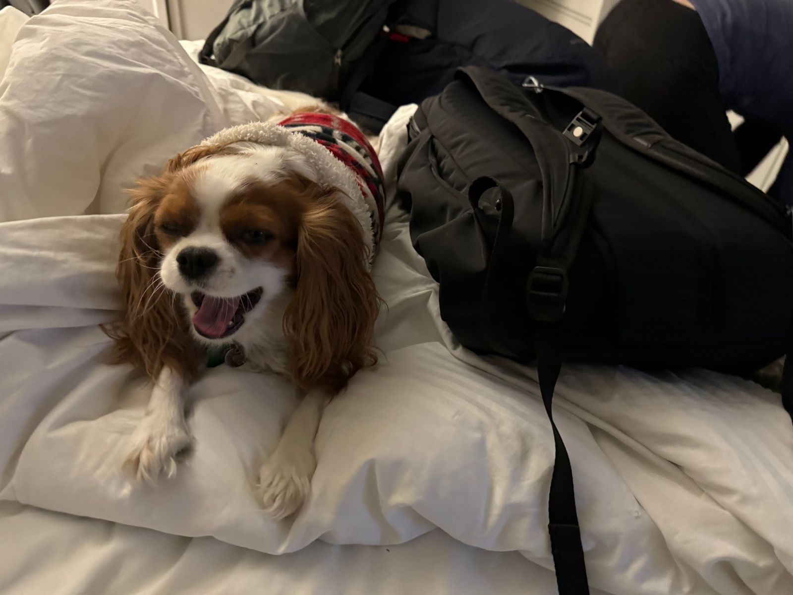

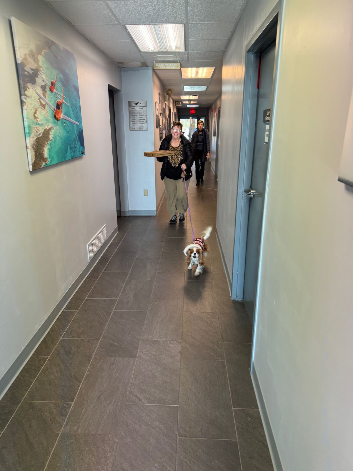

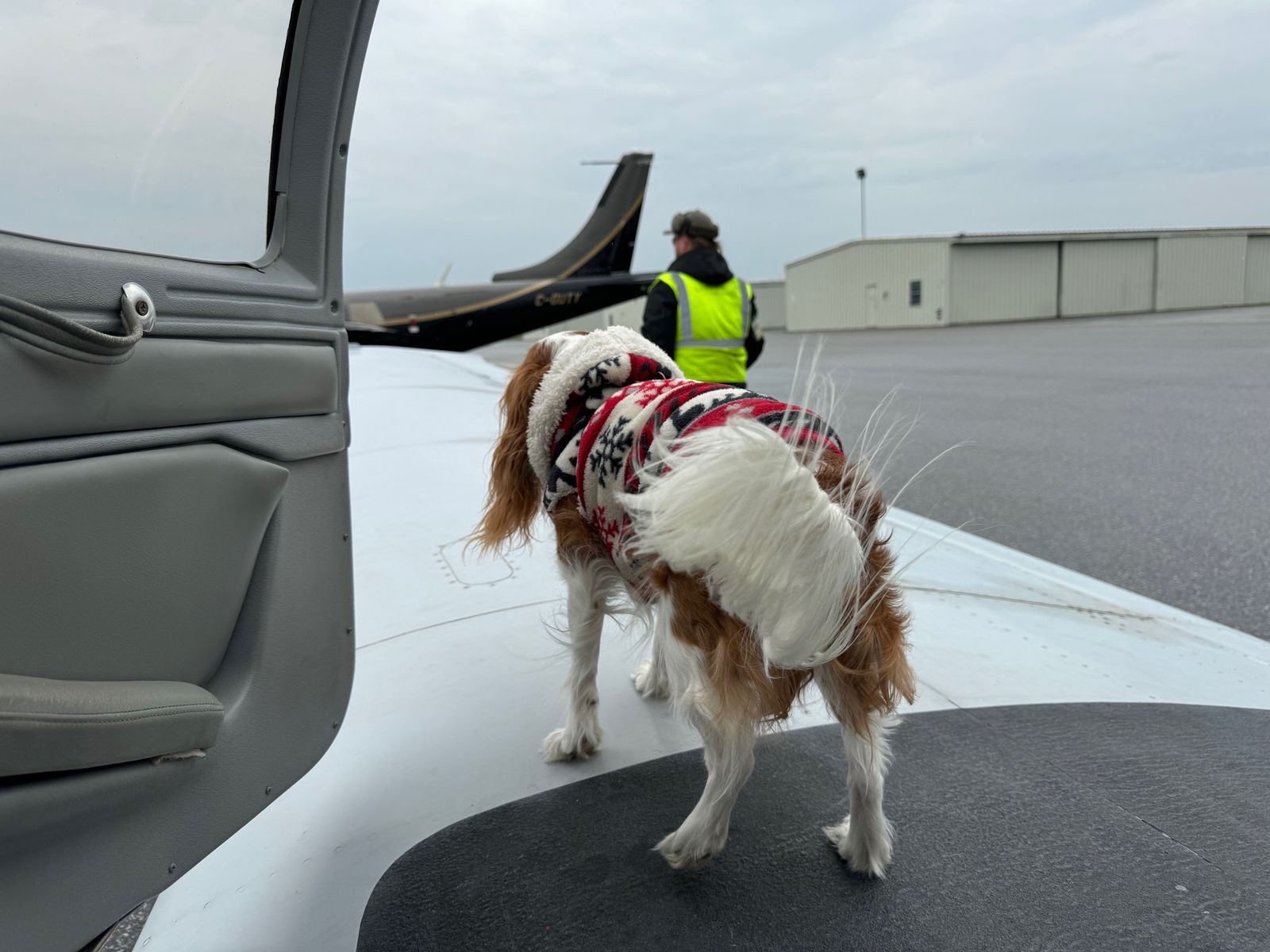
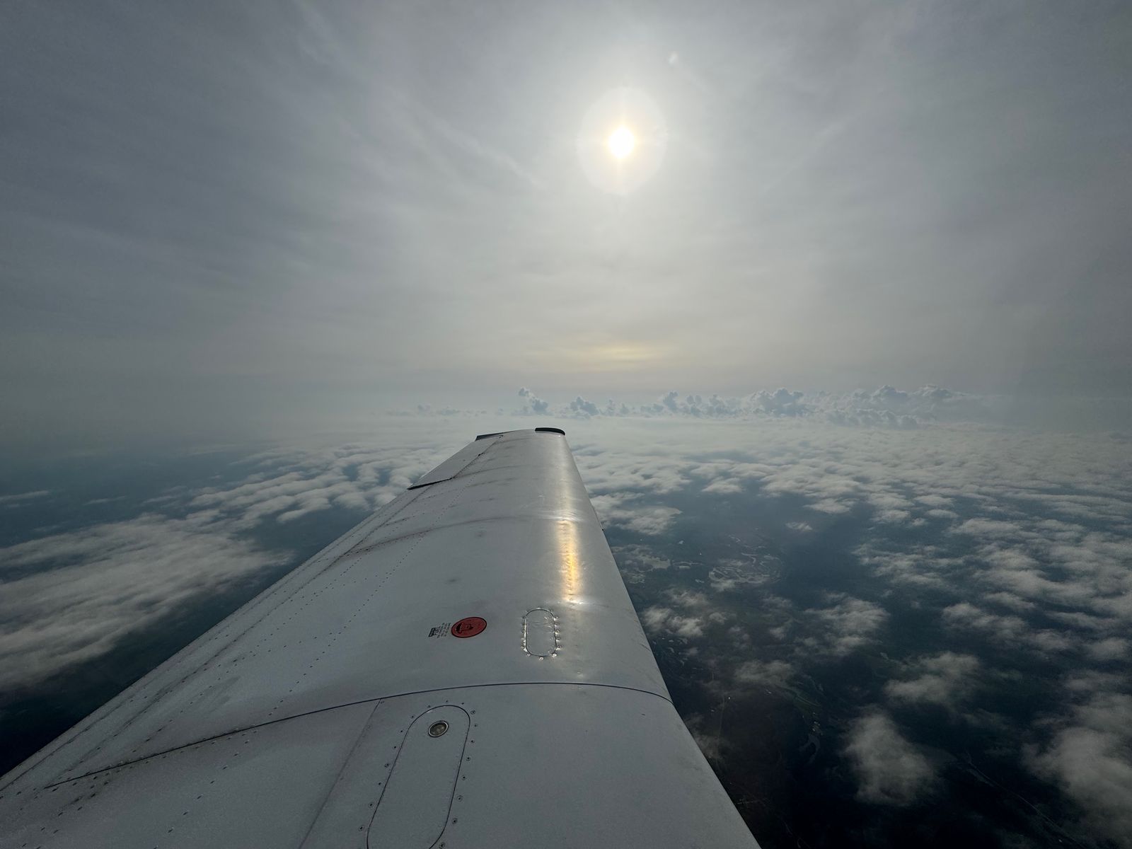
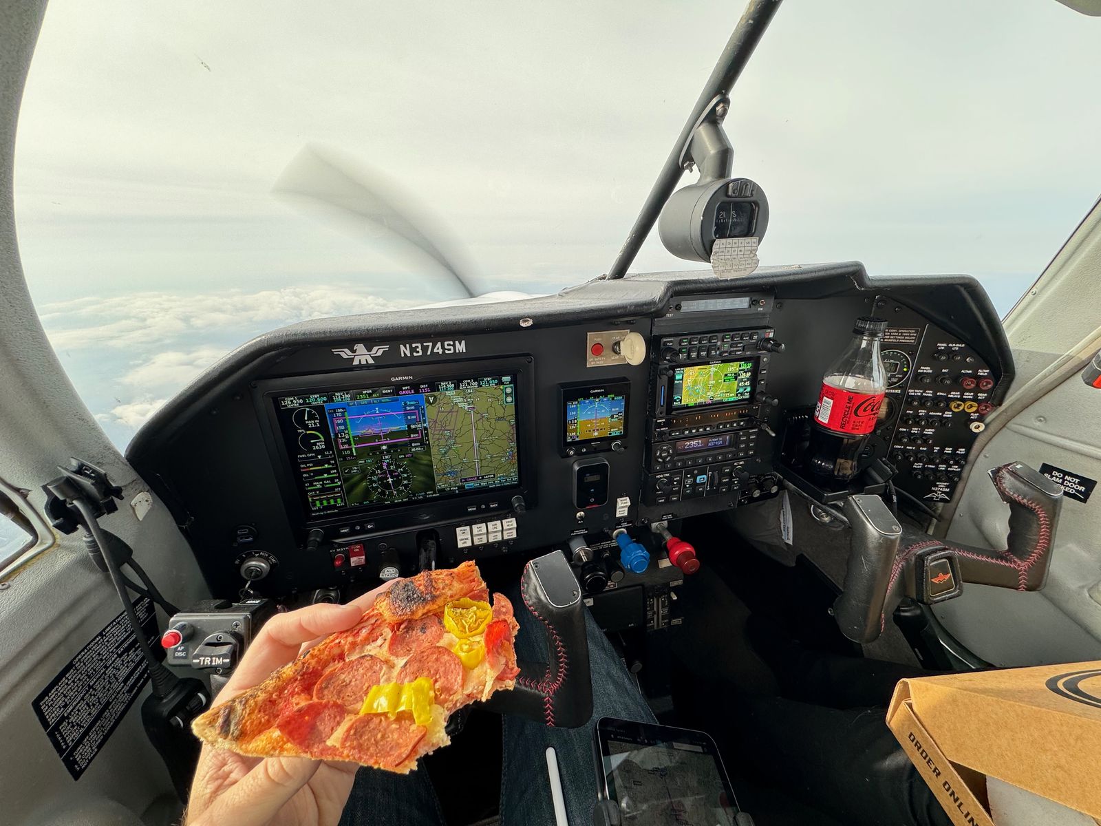
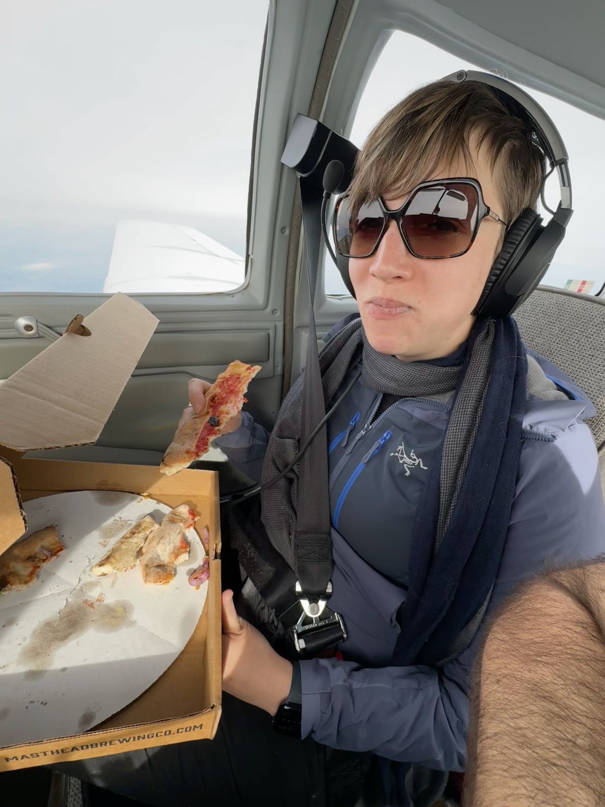
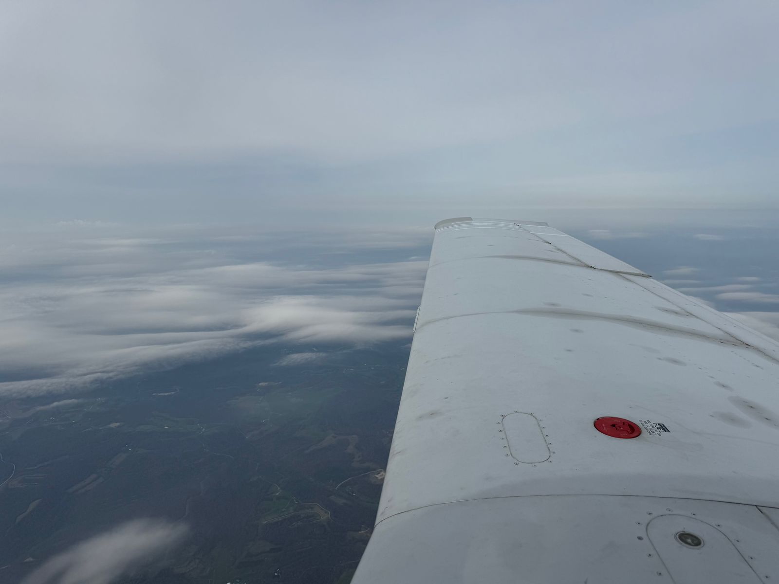
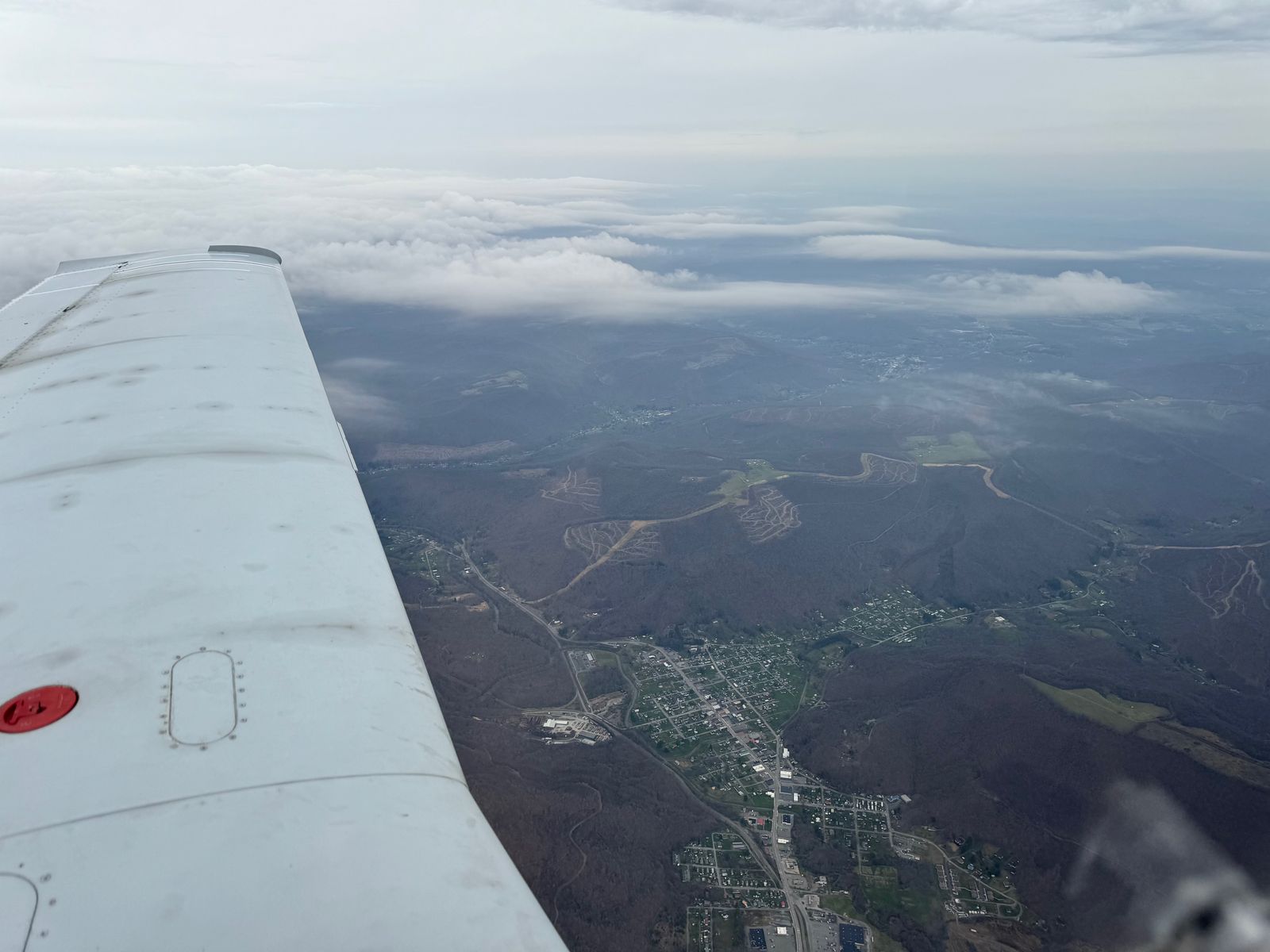
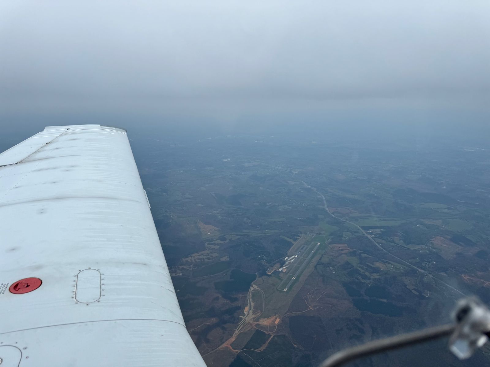
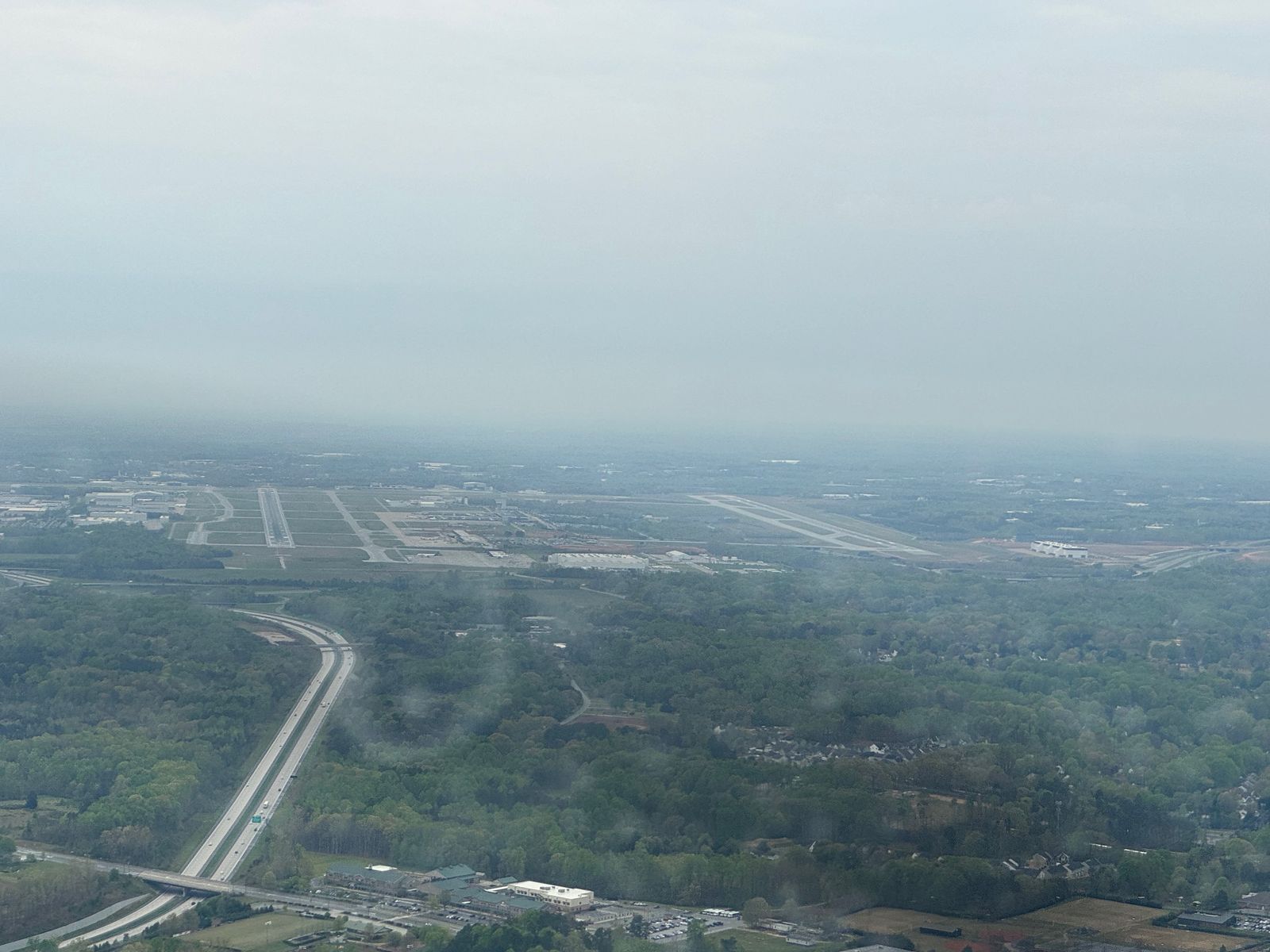
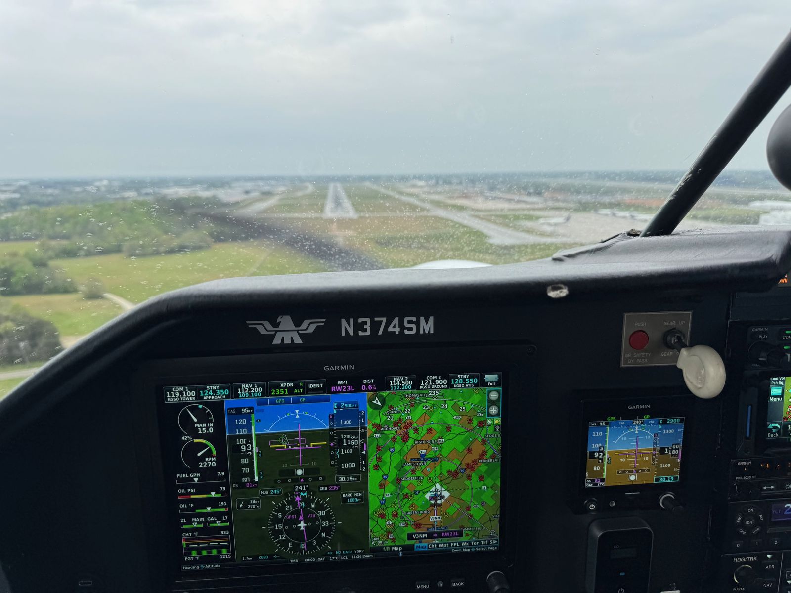
The flight itself was pretty easy. We had a little cloudiness, and never really saw the mountains, but we were in clear air most of the trip and had fairly few real bumps. We enjoyed some leftover pizza from the day before as our in-flight breakfast, and descended below the weather for an easy, but windy and rainy, landing in Greensboro.
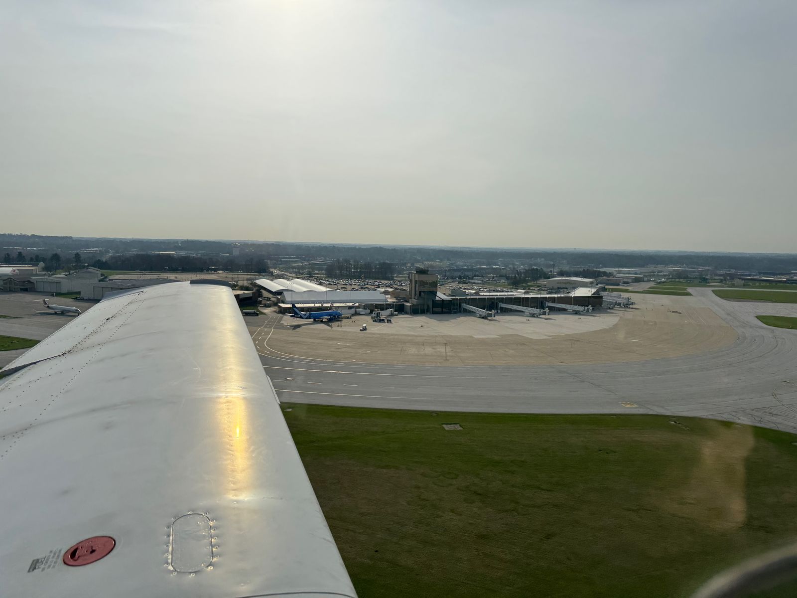
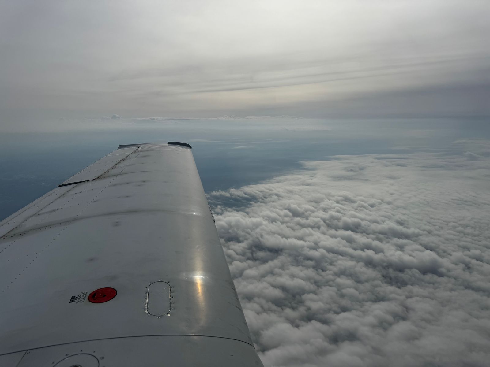


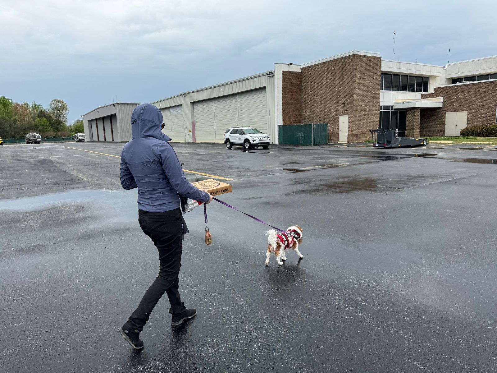
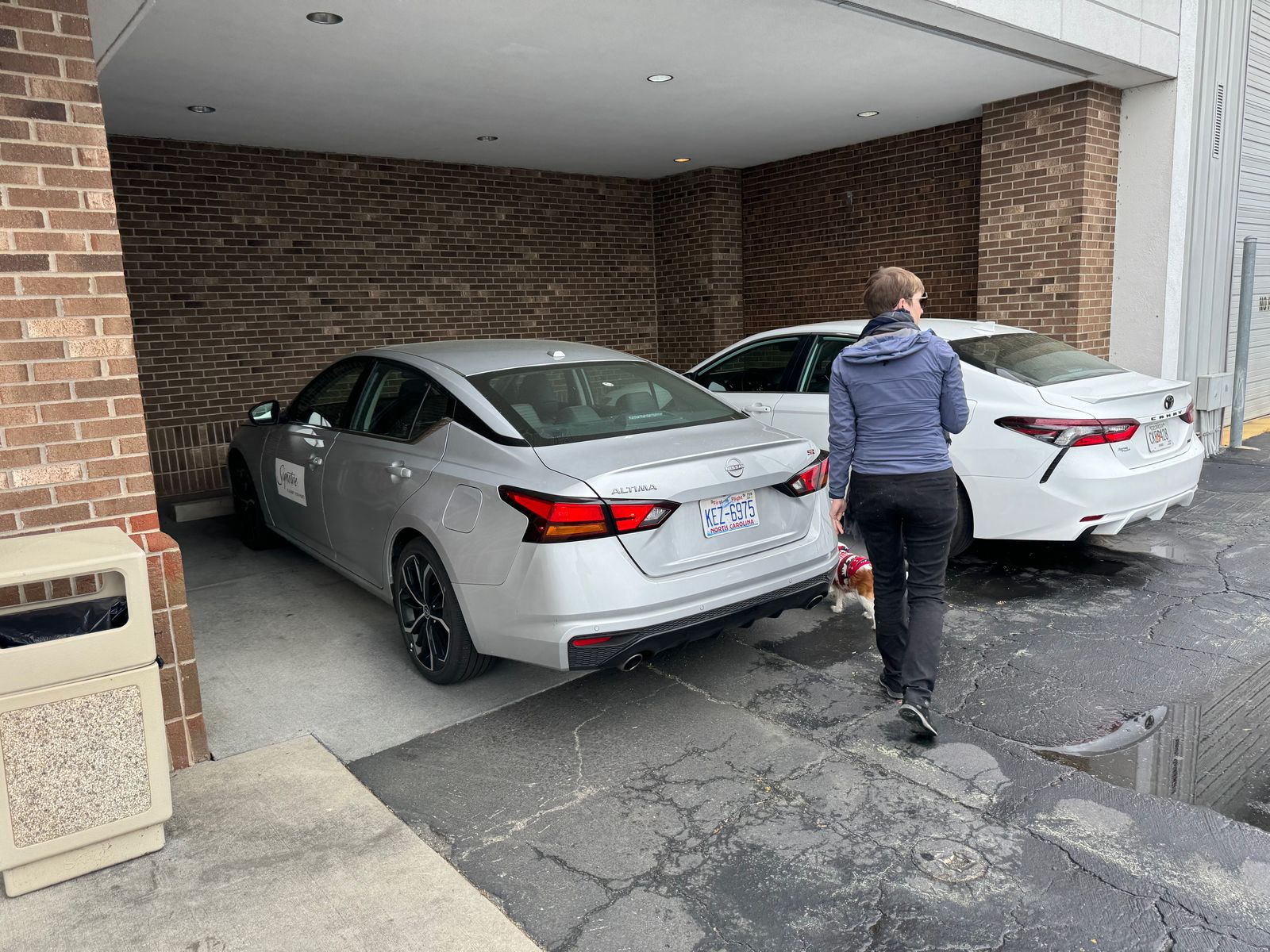
Once we got on the ground, we quickly dashed through the rain, grabbed the crew car, and went to get some pizza for lunch.